
The Great Divide Trail has an access trail listed in Mt Robson Provincial Park to get on and off the GDT at Moose River. When thru hiking the GDT with our son Toothless we needed to use the access trail as our Northern Terminus since the Berg Lake Trail was closed.
The GPS track on the trail was a bit inaccurate and lacking details. So when we hiked it we logged the track on our InReach and made notes. We have sent this track to the GDTA to incorporate any improvements it gives in Guthook. Unfortunately the track is quite coarse.
Our track is here:
Route
The route on the 2021 GDT Guthook app was inaccurate, often taking you through old trail which is no longer in use or easy walking.
As of 2021 the route was used by horses and deadfall cut (but not cleared off trail). This makes the route more obvious and easy to follow.
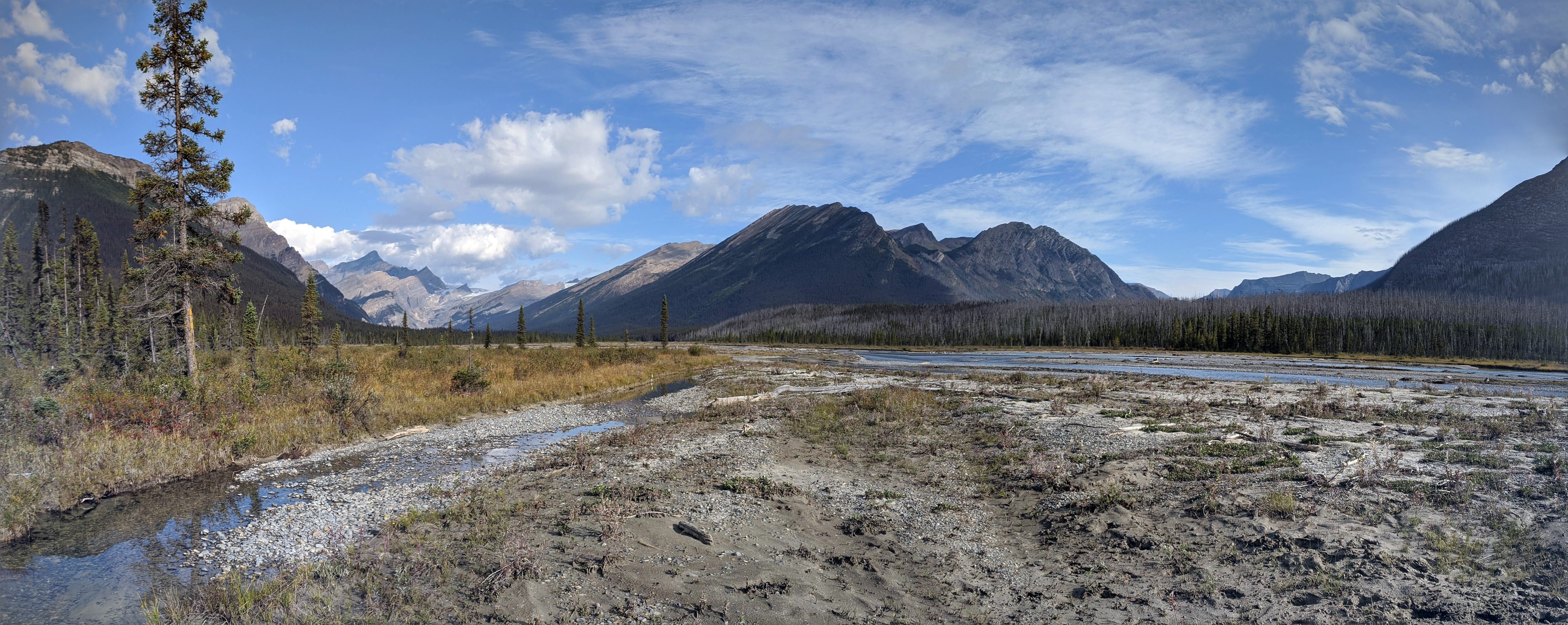
The route takes you off of the shore of the Moose River and into the burn fairly quickly after crossing the Moose River. The inland section alternates between burn and a boggy trail in the trees. Overall it is good hiking on a dry day but would be a little less pleasant after rain fall.
After reaching Resplendent Creek you should cross the creek as soon as possible and hike along the floodplain on the West side. This is easy walking and often there is good trail that fades in and out that you can connect to. After several kilometers of walking along the creek you reach a couple trees with reflective markers. At this point you turn inland off the creek will find a horse camp and good trail again. This trail continues all the way to the trailhead and only improves as you hike.
Trail Quality
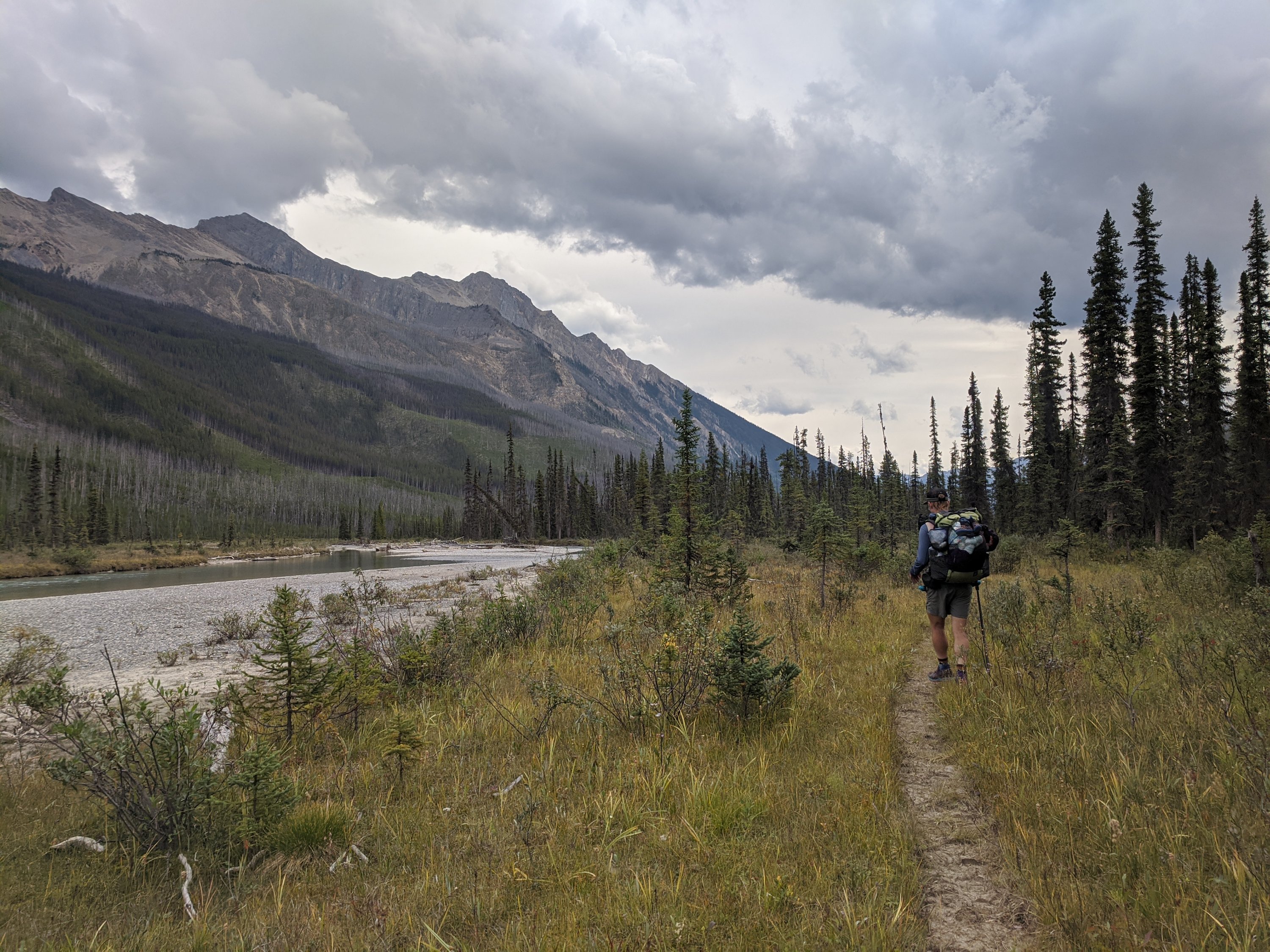
The trail quality is acceptable. It is well marked and easy to follow due to the equestrian use. Through the burn it is possible to lose the newly cleared trail and accidentally follow the old trail (which is not particularly easy to follow) so you may need to be careful and avoid following the old, yellow soup can lid trail markers. The new trail is definitely the better option and the old trail doesn’t necessarily reconnect with it.
Once you reach Resplendent Creek, you hike mostly along the creek or Moose River (after it reconnects again) and so it’s mostly good, easy to follow trail even when it goes through burn. The trail on average improves as you hike closer to the trailhead.
This entire route can be boggy and muddy after a rain fall due to the equestrian use, and there is some deadfall (although most is cut) across the trail. Deadfall that has been cut has been left and not cleared. This makes it easier but it’s still something that slows you down. The trail sometimes is eroded next to the river, but in general there is usually new trail parallel to it that has been used by horses. Even when trail fades, that’s usually next to the river or in a floodplain, so the walking is easy.

The trail is fairly well marked with reflective markers at the start and end (both sections near the Moose River). These are less frequent around Resplendent Creek.
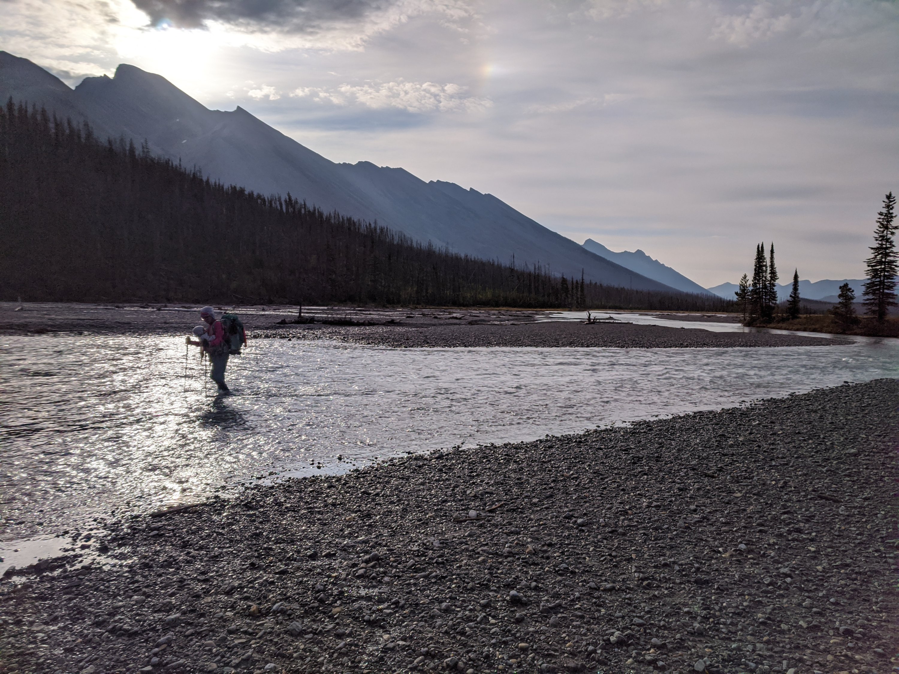
You need to cross the Moose River at the start (Northern end) and one full crossing of Resplendent Creek. After this, you need to sometimes get your feet wet to cross small stagnant pools of water shooting inland off of the creek or river, and there is one or two locations where you need to cross a small braided tributary of either the creek or river to avoid having to cross rutted, deep pools. Overall it’s not a particularly wet route, unless there was recent precipitation.

We found we hiked much slower in this section than we should have (likely due to me unknowingly having COVID19 and us not sleeping well). I would expect that I could hike this trail in normal circumstances only being slowed down 15% or so. It’s not a super cruisey trail, but it really shouldn’t slow you down too much.
Camping
The listed campsite was a spot by Respendent Creek but it indicated a campsite in the trees off the shore. We looked for quite a while and found no evidence of a campsite. There was a note in Guthook that also said the same. I’m sure there may have been a spot in the trees, maybe even further up the hill, at some point but a lot has changed there especially since the area was hit with wildfires. There is no campsite in the trees currently.
There is good camping on the floodplain though. There is an area where camping seems common with a fire pit on the East side of the creek.
If you are feeling motivated and not concerned with getting your feet wet right before bed, you can cross the creek and camp on the West side of the creek on that side of the floodplain. There are a number of flat, durable, and sheltered spots along that floodplain.
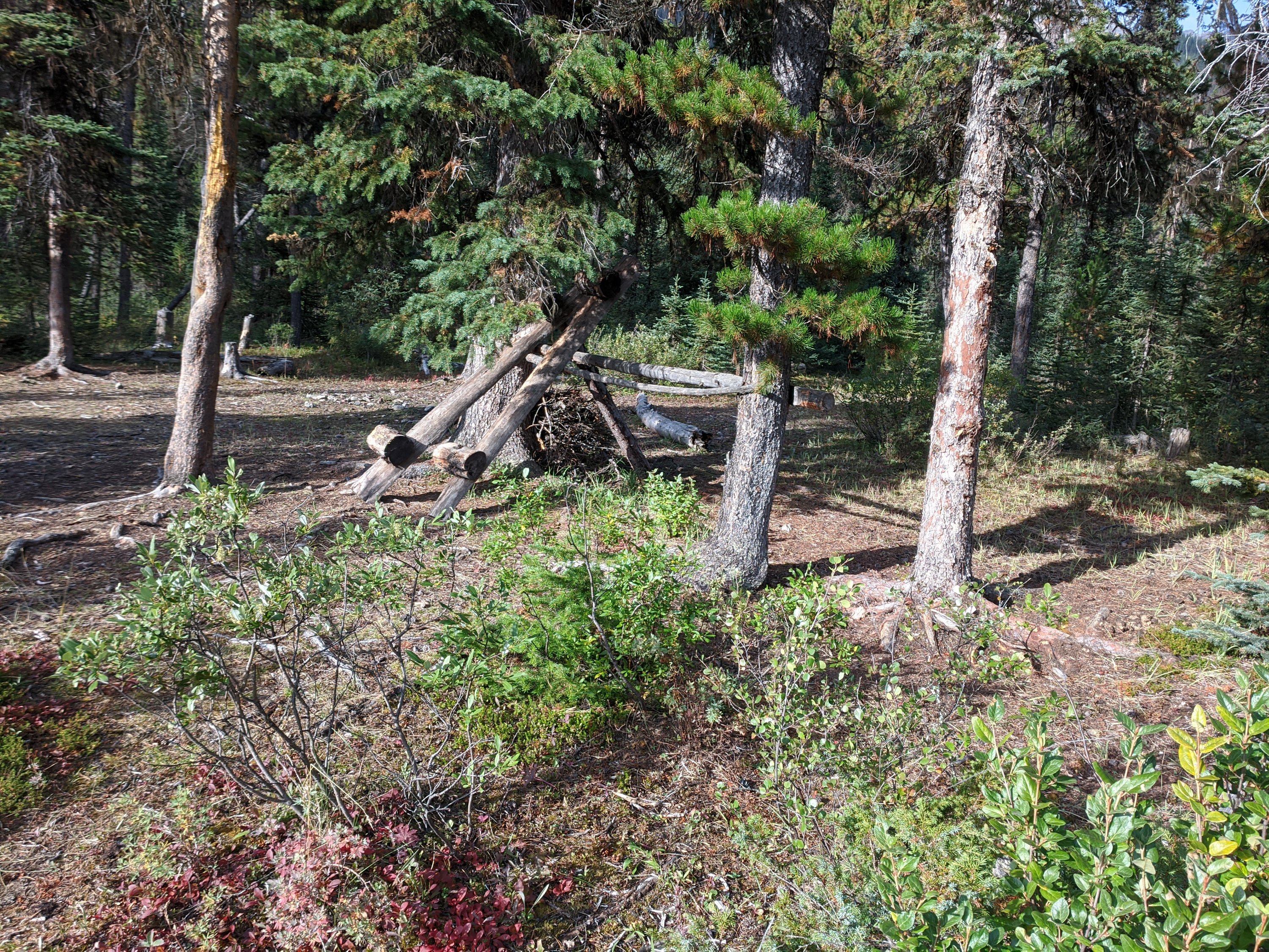
Maybe 5-7 km south of where the trail joins Resplendent Creek there is a horse camp. This is a decent camp with a small creek on the West side that separates the camp from the trail (although our track approaches it from next to Resplendent Creek.
Conclusion
Overall this is a fairly pretty and straight forward trail. There are a couple possible campsites so you don’t need to hike the entire thing in a day. This route would be challenging if it was not for the recent cutting of of the deadfall in the burn. Now that it’s been cut, it’s easier to hike but it would definitely benefit from more work to actually clear out the cut logs and trees off the trail.
The route along Resplendid Creek is pretty and shares the mood of the rest of the GDT north of this.
